One guide for many agencies and many modes
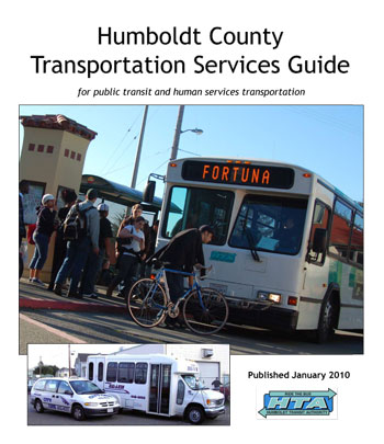
Today, Trillium Solutions finished creating the Humboldt County Transportation Services Guide [Download PDF]. It’s headed for the printer and bound for buses, transit centers, businesses, and social services locations next week.
Before this guide, printed schedule information and maps for each agency were available separately. That made it more difficult for passengers to plan inter-agency trips. It also meant that passengers weren’t always aware of all the services available. Imagine, if you will, if you had to consult a different map or road atlas for roads maintained by each city, county, and the State DOT-maintained highways — in short, use a different information source according to the agency responsible for maintaining the roads you are driving on. Probably, if this was reality, driving would not be nearly as popular as it is today! Or, imagine if you had to go to every individual airline’s website to search for available flights and their prices instead of using Travelocity.com or something similar.
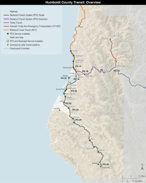
The twenty-eight page guide includes timetables for five fixed-route transit services in the Humboldt Bay Area. The overview map also shows connecting regional services, including the local transportation service in adjacent counties, and Greyhound and Amtrak service. Multiple agenies’ services are shown in many of the detail maps that highlight particular cities.
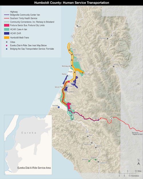
In addition, the service guide responds to findings from the Humboldt County Coordinated Human Services Transportation — Public Transit Plan by showing flexible and on-demand human services transportation services in the same guide. Below is an overview map. It is accompanied by tables of transportation services that show eligibility requirements, service area and hours, accessibility features, contact, and other pertinent information for each service.


