Interactive Transit Maps
Riders want to understand their transit system. Trillium’s Interactive Map makes it easy.
Try it now…
Never worry about updates
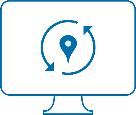
Never worry about updates
Interactive maps that automatically update with changes to your GTFS. Save time and money spent frequently updating graphic maps.