Transit directions on the iPhone
 The reason I bought an iPhone was an early-October rumor that the Google Transit trip planner, and walking directions, were going to become part of the iPhone’s mapping application with the 2.2 software update.
Sure enough, in late November, it happened (link is to Google blog). And, it’s great.
As of October 21, 2008, Apple had sold 13 million iPhones. That’s a pretty good-sized user base to reach with mobile transit directions.
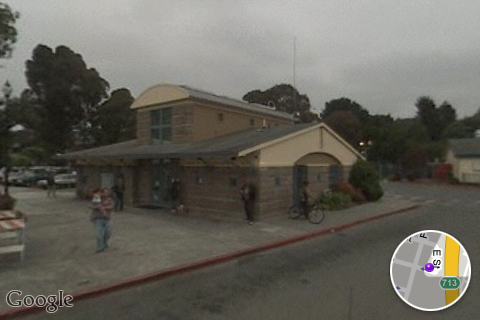
Since the iPhone has GPS built-in, you can query for transit directions from where you are without entering a start location, just an end location. One nice touch (no pun intended) is being able to use street view to see what a start, transfer, or end stop location looks like.
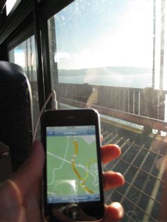
Left is a pic of me using mobile transit instructions for SF Muni on a Golden Gate Transit bus going across the Golden Gate bridge (alas Golden Gate Transit and Marin Transit are not on Google Transit).
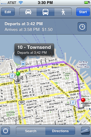
And here is a screenshot of transit directions in San Francisco:
And, finally: streetview for the Arcata Transit Center in Arcata, CA (you touch your finger to the screen to pan around):